Bike Loop from Emlenton
Interactive map
GPS track profile
About this GPS track
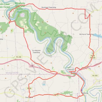
Name: Bike Loop from Emlenton GPS track, route, trail
Start: Emlenton, Venango County, Pennsylvania, 16373, United States (41.17730 -79.71279)
Coordinates: 41.13460 -79.84214 41.28608 -79.66056
Topography: Venango County topographic map