Mansfield Bike Path
Interactive map
GPS track profile
About this GPS track
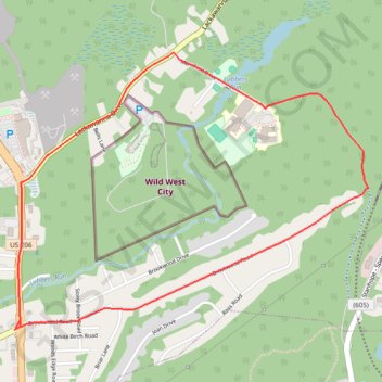
Name: Mansfield Bike Path GPS track, route, trail
Coordinates: 40.92513 -74.71910 40.93836 -74.69681
Topography: Byram Township topographic map
Name: Mansfield Bike Path GPS track, route, trail
Coordinates: 40.92513 -74.71910 40.93836 -74.69681
Topography: Byram Township topographic map