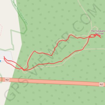
The Tsitsikamma Big Tree
Interactive map
GPS track profile
About this GPS track
Name: The Tsitsikamma Big Tree GPS track, route, trail
Coordinates: -33.96627 23.89471 -33.96477 23.89955
Other GPS tracks
Click on a GPS track to view route, its statistics and profile.
Willowmore - Jeffreys Bay
South Africa > Eastern Cape > Sarah Baartman District Municipality > Baviaans Local Municipality > Willowmore
#Bike
Distance: 140.3 mi • Elevation gain: 11,732 ft • Maximum elevation: 3,793 ft