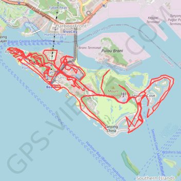
Sentosa - Singapore
Interactive map
GPS track profile
About this GPS track
Name: Sentosa - Singapore GPS track, route, trail
End: 134, Cove Drive, Southern Islands, Singapore, Southwest, 099891, Singapore (1.23958 103.83160)
Coordinates: 1.23874 103.80671 1.25989 103.84834
Other GPS tracks
Click on a GPS track to view route, its statistics and profile.
Kualanamu International Airport to Jakarta, Indonesia
Indonésie > Sumatra du Nord > Deli Serdang > Beringin
Distance: 1,124.2 mi • Elevation gain: 36,014 ft • Maximum elevation: 410 ft
Pipeline TGI by AGM
Indonesia > South Sumatra > Tungkal Jaya > Beji Mulyo
Distance: 330.2 mi • Elevation gain: 5,932 ft • Maximum elevation: 318 ft