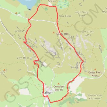
Malham - Yorkshire Dales National Park
Interactive map
GPS track profile
About this GPS track
Name: Malham - Yorkshire Dales National Park GPS track, route, trail
Start: Chapel Gate, Malham, North Yorkshire, England, BD23 4DG, United Kingdom (54.05951 -2.15387)
End: Chapel Gate, Malham, North Yorkshire, England, BD23 4DG, United Kingdom (54.05948 -2.15397)
Coordinates: 54.05743 -2.16776 54.09364 -2.13044