Krom River Cave - Disa Pool
Interactive map
GPS track profile
About this GPS track
Name: Krom River Cave - Disa Pool GPS track, route, trail
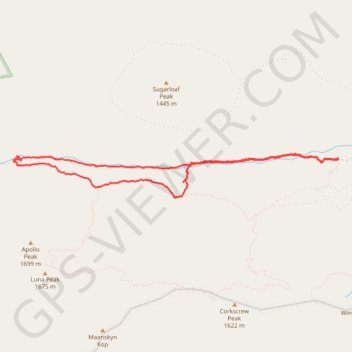
Coordinates: -32.53956 19.20220 -32.53422 19.24879
Name: Krom River Cave - Disa Pool GPS track, route, trail
Coordinates: -32.53956 19.20220 -32.53422 19.24879