Conham - River Avon
Interactive map
GPS track profile
About this GPS track
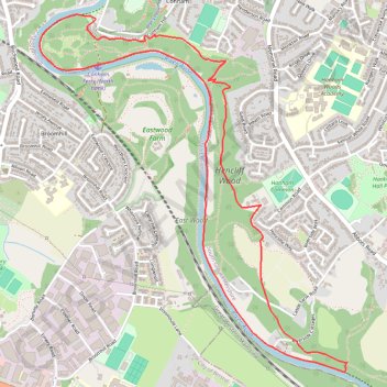
Name: Conham - River Avon GPS track, route, trail
Coordinates: 51.43069 -2.53926 51.44725 -2.51643
Other GPS tracks
Click on a GPS track to view route, its statistics and profile.
2024-03-30_10-35_Sat
United Kingdom > England > City of Bristol > Bristol
Distance: 13.3 mi • Elevation gain: 656 ft • Maximum elevation: 194 ft
Dean2023-311
United Kingdom > England > Oxfordshire > Oxford
Distance: 192.8 mi • Elevation gain: 11,043 ft • Maximum elevation: 951 ft