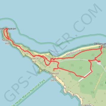
Fort Nepean - Mornington Peninsula
Interactive map
GPS track profile
About this GPS track
Name: Fort Nepean - Mornington Peninsula GPS track, route, trail
Coordinates: -38.31301 144.65191 -38.30167 144.68089
Other GPS tracks
Click on a GPS track to view route, its statistics and profile.