Wungong Gorge
Interactive map
GPS track profile
About this GPS track
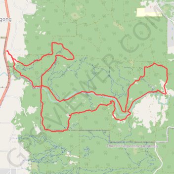
Name: Wungong Gorge GPS track, route, trail
Start: Rails Crescent, Wungong, City Of Armadale, Western Australia, 6122, Australia (-32.18928 116.01574)
End: Rails Crescent, Wungong, City Of Armadale, Western Australia, 6122, Australia (-32.18928 116.01574)
Coordinates: -32.20542 116.01574 -32.18756 116.05385
Other GPS tracks
Click on a GPS track to view route, its statistics and profile.
Perth to Sydney
Australie > Australie occidentale > City of Belmont
Distance: 2,362.0 mi • Elevation gain: 47,762 ft • Maximum elevation: 3,802 ft