Wellington - Pedder
Interactive map
GPS track profile
About this GPS track
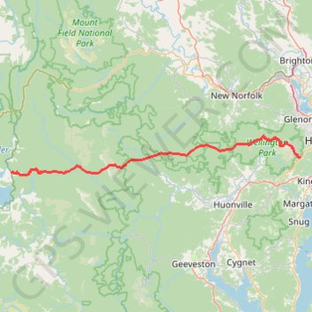
Name: Wellington - Pedder GPS track, route, trail
End: Derwent Valley, Tasmania, Australia (-42.95819 146.36154)
Coordinates: -42.96302 146.36154 -42.87437 147.26004
Other GPS tracks
Click on a GPS track to view route, its statistics and profile.
South Hobart - Wellington Park - Pipeline Track
Distance: 13.2 mi • Elevation gain: 3,241 ft • Maximum elevation: 2,087 ft