#MTB #Loop
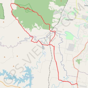
Name: Gleneagle Kagaru GPS track, route, trail
Start: Gleneagle State School, Mount Lindesay Highway, Gleneagle, Scenic Rim Regional, Queensland, Australia (-27.93880 152.98284)
End: Gleneagle State School, Mount Lindesay Highway, Gleneagle, Scenic Rim Regional, Queensland, Australia (-27.93770 152.98245)
Coordinates: -27.93880 152.84094 -27.78521 152.98284
Click on a GPS track to view route, its statistics and profile.
Australia > Queensland > Peak Crossing
Distance: 33.9 mi • Elevation gain: 3,064 ft • Maximum elevation: 1,325 ft
Australia > Queensland
Hike / run by the Lake Wyaralong from the dam. #Hike #Run #Lake #Nature #Forest
Distance: 6.1 mi • Elevation gain: 869 ft • Maximum elevation: 518 ft
Hike / run to Mount Joyce from the Lake Wyaralong. #Hike #Run #Lake #Mountain #Forest #Nature
Distance: 5.6 mi • Elevation gain: 1,401 ft • Maximum elevation: 1,463 ft