Green Point
Interactive map
GPS track profile
About this GPS track
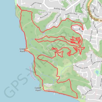
Name: Green Point GPS track, route, trail
Coordinates: -33.02995 151.62873 -33.01357 151.64272
Name: Green Point GPS track, route, trail
Coordinates: -33.02995 151.62873 -33.01357 151.64272