Taumarunui - Owhango
Interactive map
GPS track profile
About this GPS track
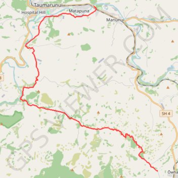
Name: Taumarunui - Owhango GPS track, route, trail
End: Hikumutu Road, Ōwhango, Ruapehu District, Manawatū-Whanganui, New Zealand (-38.99575 175.36305)
Coordinates: -38.99575 175.24188 -38.88264 175.36305
Other GPS tracks
Click on a GPS track to view route, its statistics and profile.