Import a GPX file

Piropiro - Taumarunui

Pureora Forest. Ongarue River. #Bike #MTB #Countryside #Forest #River #Nature

  • Distance: 42.8 mi
  • Elevation gain: 3,445 ft
  • Maximum elevation: 2,060 ft
  • Elevation loss: 4,318 ft
  • Minimum elevation: 548 ft

Interactive map

GPS track profile

About this GPS track
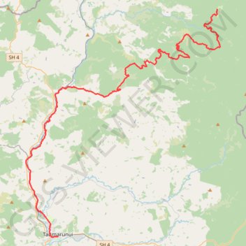
Other GPS tracks

Click on a GPS track to view route, its statistics and profile.

Taumarunui - Owhango

New Zealand > Manawatū-Whanganui > Ruapehu District

Whanganui River. #Bike #Road #River #Forest #Mountain #Nature

Distance: 17.4 mi • Elevation gain: 2,418 ft • Maximum elevation: 1,601 ft

Mangakino - Piropiro

New Zealand > Waikato > Taupo District > Mangakino

#Bike #Maraetai #Waikato

Distance: 51.3 mi • Elevation gain: 6,211 ft • Maximum elevation: 3,264 ft