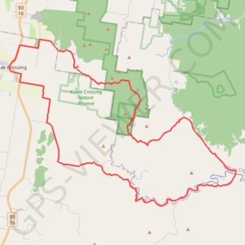
Flinders Peak - Undullah - Peak Crossing
Interactive map
GPS track profile
About this GPS track
Name: Flinders Peak - Undullah - Peak Crossing GPS track, route, trail
Coordinates: -27.87012 152.72865 -27.76626 152.88852
Other GPS tracks
Click on a GPS track to view route, its statistics and profile.