Upper Thomson Loop
Interactive map
GPS track profile
About this GPS track
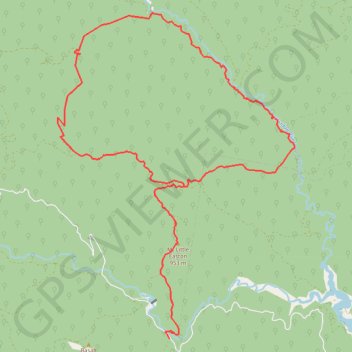
Name: Upper Thomson Loop GPS track, route, trail
Start: Thomson - Jordan Road, Jericho, Shire of Baw Baw, Victoria, Australia (-37.71438 146.27523)
End: Thomson - Jordan Road, Jericho, Shire of Baw Baw, Victoria, Australia (-37.71530 146.27604)
Coordinates: -37.71530 146.24214 -37.63734 146.31374
Other GPS tracks
Click on a GPS track to view route, its statistics and profile.
Traralgon - Walhalla - Woods Point
Australia > Victoria > Traralgon
#Bike
Distance: 77.4 mi • Elevation gain: 13,970 ft • Maximum elevation: 3,822 ft
Moe - Woods Point
#Bike
Distance: 67.8 mi • Elevation gain: 10,810 ft • Maximum elevation: 3,822 ft