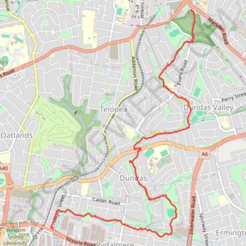
The Ponds Walk: Carlingford - Rydalmere
#Hike
- Distance: 4.9 mi
- Elevation gain: 89 ft
- Maximum elevation: 417 ft
- Elevation loss: 472 ft
- Minimum elevation: 30 ft
Interactive map
GPS track profile
About this GPS track
Name: The Ponds Walk: Carlingford - Rydalmere GPS track, route, trail
Coordinates: -33.81070 151.03112 -33.78088 151.05388
Other GPS tracks
Click on a GPS track to view route, its statistics and profile.
Perth to Sydney
Australie > Australie occidentale > City of Belmont
Distance: 2,362.0 mi • Elevation gain: 47,762 ft • Maximum elevation: 3,802 ft