Komoka Provincial Park
Interactive map
GPS track profile
About this GPS track
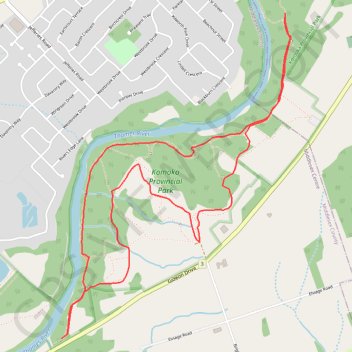
Name: Komoka Provincial Park GPS track, route, trail
Coordinates: 42.93967 -81.40516 42.95960 -81.38598
Name: Komoka Provincial Park GPS track, route, trail
Coordinates: 42.93967 -81.40516 42.95960 -81.38598