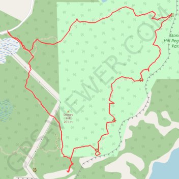
Stoney Hill Loop
Stoney Hill Regional Park. Vancouver Island. #Hike #Loop #StoneyHill #Vancouver
- Distance: 2.3 mi
- Elevation gain: 607 ft
- Maximum elevation: 659 ft
- Elevation loss: 607 ft
- Minimum elevation: 436 ft
Interactive map
GPS track profile
About this GPS track
Name: Stoney Hill Loop GPS track, route, trail
Coordinates: 48.77644 -123.57930 48.78428 -123.56751
Other GPS tracks
Click on a GPS track to view route, its statistics and profile.