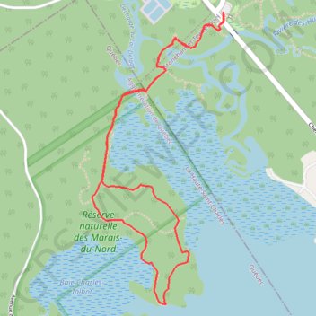
Réserve naturelle des Marais du Nord
Interactive map
GPS track profile
About this GPS track
Name: Réserve naturelle des Marais du Nord GPS track, route, trail
Coordinates: 46.94826 -71.40186 46.96168 -71.39301
Name: Réserve naturelle des Marais du Nord GPS track, route, trail
Coordinates: 46.94826 -71.40186 46.96168 -71.39301