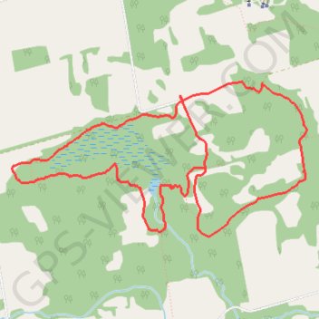
Nottawasaga Bluffs Trail
Interactive map
GPS track profile
About this GPS track
Name: Nottawasaga Bluffs Trail GPS track, route, trail
Coordinates: 44.33277 -80.22822 44.34420 -80.19784
Other GPS tracks
Click on a GPS track to view route, its statistics and profile.
Owen Sound - Orangeville
Canada > Ontario > Grey County > Owen Sound
Distance: 66.9 mi • Elevation gain: 1,946 ft • Maximum elevation: 1,696 ft