Arkon Lake Loop
Interactive map
GPS track profile
About this GPS track
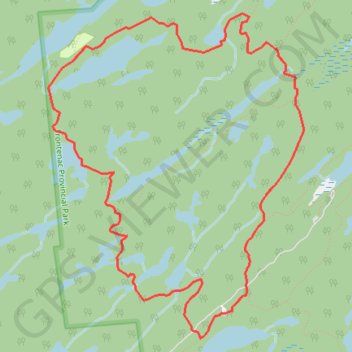
Name: Arkon Lake Loop GPS track, route, trail
Coordinates: 44.51640 -76.55909 44.54091 -76.53214
Other GPS tracks
Click on a GPS track to view route, its statistics and profile.
Name: Arkon Lake Loop GPS track, route, trail
Coordinates: 44.51640 -76.55909 44.54091 -76.53214
Click on a GPS track to view route, its statistics and profile.