Parlee Brook Amphitheatre
Interactive map
GPS track profile
About this GPS track
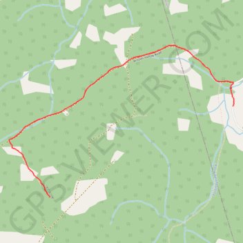
Name: Parlee Brook Amphitheatre GPS track, route, trail
Start: Waterford Parish, Kings County, New Brunswick, E4E 5C5, Canada (45.64954 -65.40813)
End: Waterford Parish, Kings County, New Brunswick, E4E 5C5, Canada (45.64954 -65.40813)
Coordinates: 45.64235 -65.43344 45.65435 -65.40804