Import a GPX file

Bendor and Graves Tract - West Track

York Regional Forest. #Hike #MTB #Loop

  • Distance: 3.9 mi
  • Elevation gain: 253 ft
  • Maximum elevation: 974 ft
  • Elevation loss: 253 ft
  • Minimum elevation: 873 ft

Interactive map

GPS track profile

About this GPS track
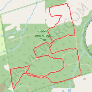
Other GPS tracks

Click on a GPS track to view route, its statistics and profile.

Québec - Montréal - Saint-Laurent River - Lake Ontario - Niagara Falls

Canada > Quebec > Urban agglomeration of Québec > Quebec

#Bike #Ontario

Distance: 670.1 mi • Elevation gain: 15,761 ft • Maximum elevation: 686 ft