Carcajou
Interactive map
GPS track profile
About this GPS track
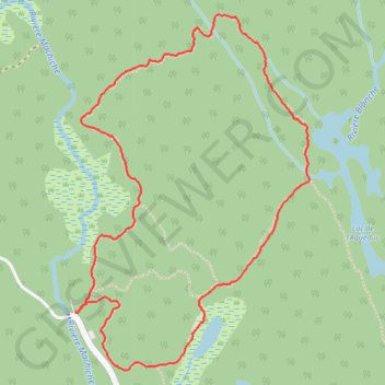
Name: Carcajou GPS track, route, trail
Coordinates: 46.54010 -72.87799 46.55380 -72.86491
Other GPS tracks
Click on a GPS track to view route, its statistics and profile.
Name: Carcajou GPS track, route, trail
Coordinates: 46.54010 -72.87799 46.55380 -72.86491
Click on a GPS track to view route, its statistics and profile.