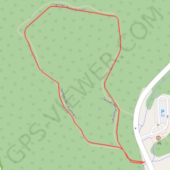
Sentier des Pionniers
Interactive map
GPS track profile
About this GPS track
Name: Sentier des Pionniers GPS track, route, trail
Start: Sentier des Pionniers, Hull, Gatineau, Outaouais, Québec, J8Y 5E2, Canada (45.43934 -75.76221)
End: Sentier des Pionniers, Hull, Gatineau, Outaouais, Québec, J8Y 5E2, Canada (45.43934 -75.76221)
Coordinates: 45.43934 -75.76623 45.44319 -75.76204
Other GPS tracks
Click on a GPS track to view route, its statistics and profile.