Palgrave Trail
Interactive map
GPS track profile
About this GPS track
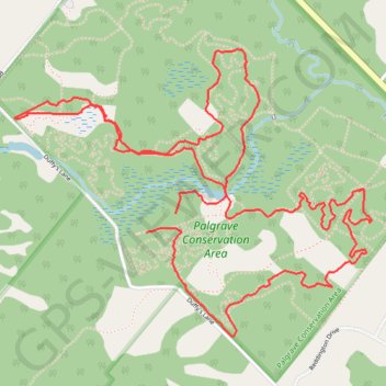
Name: Palgrave Trail GPS track, route, trail
Coordinates: 43.94693 -79.86602 43.95842 -79.84617
Other GPS tracks
Click on a GPS track to view route, its statistics and profile.
Name: Palgrave Trail GPS track, route, trail
Coordinates: 43.94693 -79.86602 43.95842 -79.84617
Click on a GPS track to view route, its statistics and profile.