Running 2/23/23 5:43 pm
- Distance: 0.3 mi
- Elevation gain: 10 ft
- Maximum elevation: 20 ft
- Elevation loss: 13 ft
- Minimum elevation: 7 ft
- Moving time: 3 m 41 s
- Moving speed: 5.2 mph
- Maximum speed: 7.4 mph
- Total time: 3 m 41 s
- Global speed: 5.2 mph
- Date: 02/23/2023
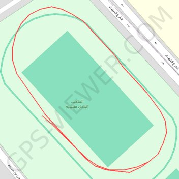
Interactive map
GPS track profile
About this GPS track
Name: Running 2/23/23 5:43 pm GPS track, route, trail
Coordinates: 36.84214 11.09714 36.84340 11.09860
Topography: قليبية الغربية topographic map
Other GPS tracks
Click on a GPS track to view route, its statistics and profile.
Course à pied le soir
Tunisia > Nabeul > قليبية الغربية > Kelibia
Distance: 0.9 mi • Elevation gain: 23 ft • Maximum elevation: 20 ft