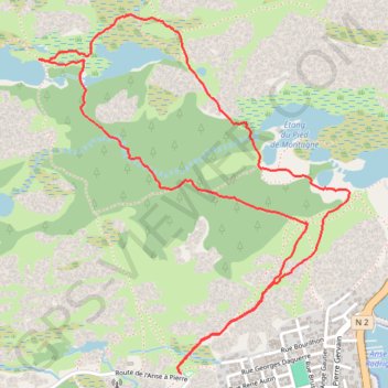
Vallée des Sept Étangs
Interactive map
GPS track profile
About this GPS track
Name: Vallée des Sept Étangs GPS track, route, trail
Start: Route de l'Anse à Pierre, Saint-Pierre, Saint-Pierre-et-Miquelon, 97500, France (46.78489 -56.17911)
Coordinates: 46.78489 -56.18647 46.79762 -56.17040