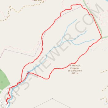
Pic malaoui avec raccourci
Interactive map
GPS track profile
About this GPS track
Name: Pic malaoui avec raccourci GPS track, route, trail
End: Yahoué, Mont Dore, Province Sud, Nouvelle-Calédonie, 98874, France (-22.19957 166.49812)
Coordinates: -22.19976 166.49796 -22.18135 166.51688
Other GPS tracks
Click on a GPS track to view route, its statistics and profile.