Parc National de la Gaspésie Mont-Albert automne
Interactive map
GPS track profile
About this GPS track
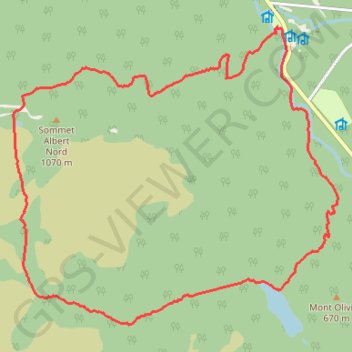
Name: Parc National de la Gaspésie Mont-Albert automne GPS track, route, trail
Coordinates: 48.90967 -66.17475 48.94665 -66.11336
Other GPS tracks
Click on a GPS track to view route, its statistics and profile.
La Traversée des Chic-Chocs
Canada > Québec > La Matanie > Rivière-Bonjour
Randonnée entre Les Méchins et Cap-au-Renard. #Randonnée
Distance: 59.7 mi • Elevation gain: 15,509 ft • Maximum elevation: 3,724 ft