Randonnée en boucle depuis Nipomo. #Randonnée #Boucle
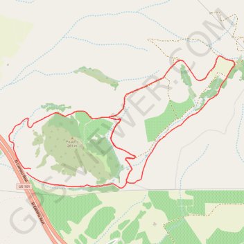
Name: Picacho GPS track, route, trail
Start: El Camino Real, San Luis Obispo County, Californie, 93420, États-Unis d'Amérique (35.09990 -120.54582)
End: El Camino Real, San Luis Obispo County, Californie, 93420, États-Unis d'Amérique (35.09957 -120.54632)
Coordinates: 35.09796 -120.54850 35.11132 -120.52063