Rizières de Jatiluwih
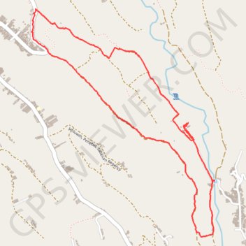
Interactive map
GPS track profile
About this GPS track
Name: Rizières de Jatiluwih GPS track, route, trail
End: Gunungsari, Tabanan, Bali, Nusa Tenggara, 82152, Indonésie (-8.36713 115.13009)
Coordinates: -8.38622 115.12989 -8.36684 115.14565